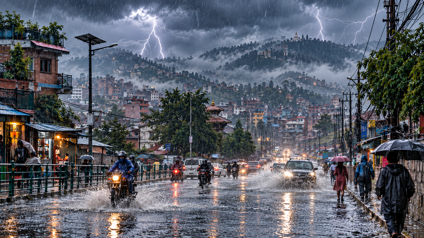
Kathmandu – Weather activity is expected to increase across Nepal from Kartik 11 as a low-pressure system developing over the Bay of Bengal begins influencing the country, according to the Department of Hydrology and Meteorology.
The department has forecast possible rainfall in the hills and Terai, along with snowfall in mountainous areas towards the end of the coming week. Westerly winds are expected to have a partial influence during the early and middle parts of the week.
Moderate rain is possible in parts of Koshi, Madhesh, Bagmati, Gandaki and Lumbini provinces. Some areas of Sudurpaschim Province could also receive rainfall.
A few places in Koshi, Bagmati and Gandaki provinces may experience heavy rain, while isolated areas of Lumbini Province could receive similar rainfall.
Moderate snowfall is likely in several mountainous areas of Koshi, Bagmati and Gandaki provinces. Some locations could receive heavy snowfall, with very heavy snowfall possible at one or two places. Mountainous areas of Lumbini, Karnali and Sudurpaschim may also experience snowfall.
The department expects both maximum and minimum temperatures to fall slightly during the coming week, bringing colder conditions to several parts of the country.
Meteorologist Rajan Maharjan urged the public to remain alert but not panic over weather-related claims circulating on social media. He said short-term forecasts are generally more reliable, while week-long forecasts carry greater uncertainty because of Nepal’s complex geography.
Travellers, farmers and residents of high-altitude areas have been advised to monitor official weather bulletins as the system develops.